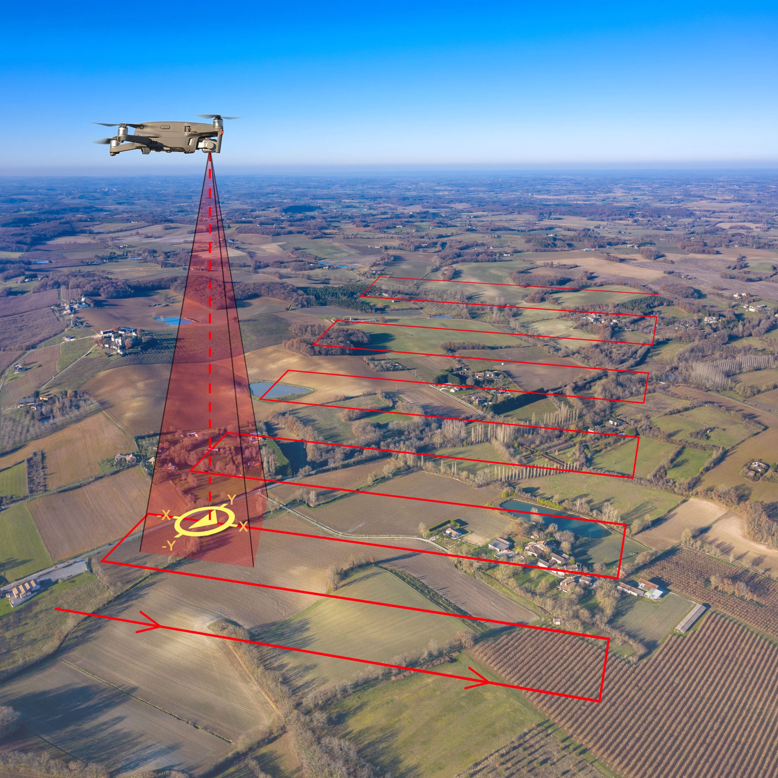
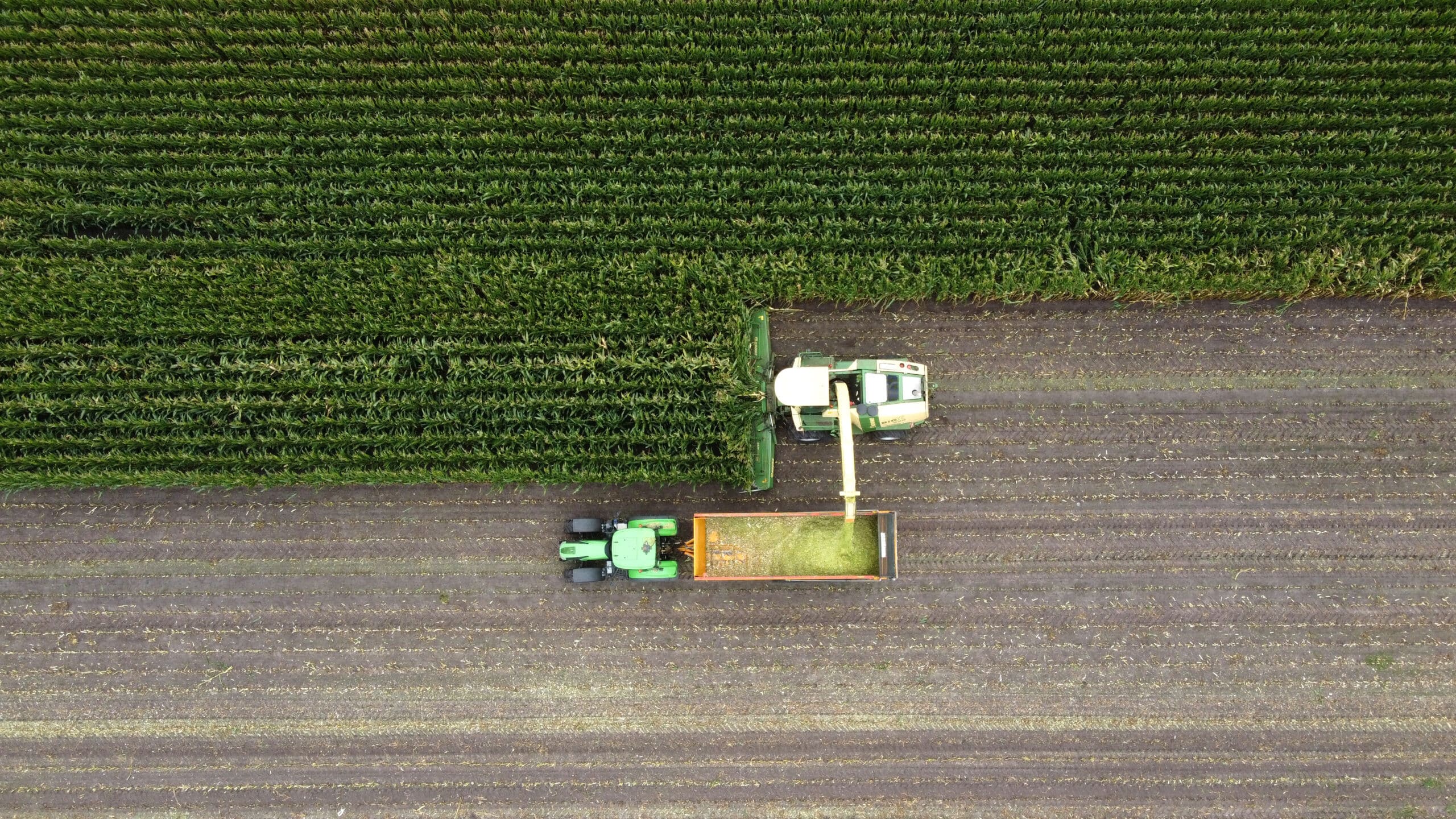
Versatile High-Definition Aerial Imaging
Aerial drone HD imaging gives farmers a clear, accurate view of their land, infrastructure, and operations from above. Using high-resolution cameras, Harvest Aerial captures detailed photos and video that support day-to-day management, planning, documentation, and marketing needs.
Unlike complex data products, HD imaging is simple and highly visual. It provides an immediate understanding of what is happening across your property, helping you monitor conditions, document progress, and communicate clearly with partners, insurers, or customers.
Marketing & Promotional Photography
Professional aerial photos and video help tell the story of your farm. Use HD imagery for websites, social media, presentations, or internal communications to showcase crops, facilities, and overall scale in a compelling, authentic way.
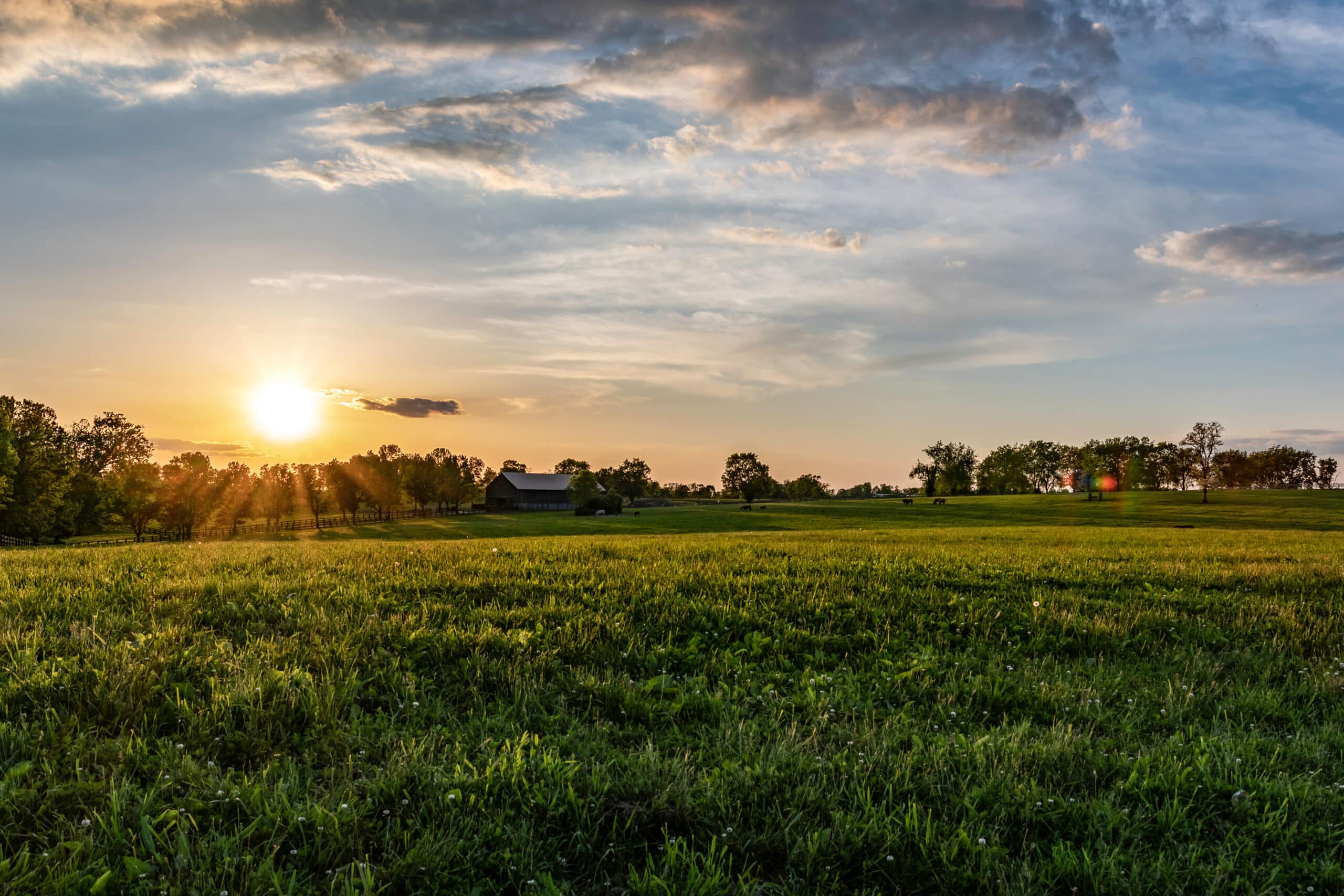
Infrastructure & Land Visibility
Gain a complete view of pastures, barns, bins, fencing, irrigation systems, access roads, and surrounding land. Aerial imaging makes it easier to spot issues, plan improvements, and maintain infrastructure.
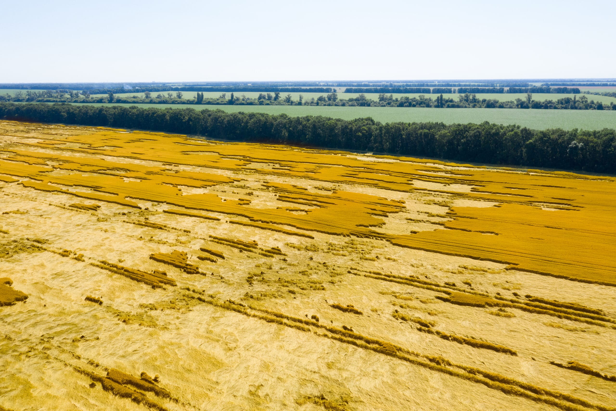
Storm & Damage Assessment
After severe weather, drone imagery provides fast, safe documentation of damage. High-resolution aerial photos show inaccessible areas and can help identify downed lines, damaged structures, flooded areas, and field impacts, supporting insurance claims and recovery planning.
Project Progress & Time-Lapse Documentation
Track projects over time with scheduled drone flights that capture consistent imagery from the same angles. Time-lapse visuals are ideal for documenting construction, land improvements, or seasonal changes across your operation.
Our services
Contact Us
follow us on
Customer Questions
What kind of images will I receive?
You’ll receive high-resolution aerial photos and, if requested, HD video suitable for marketing, documentation, and internal use.
How quickly can imaging be completed?
Most HD imaging projects can be completed in 1–2 days, weather permitting.
Can images be used for insurance or reporting purposes?
Yes. Aerial imagery is commonly used to support insurance claims, damage reports, and internal documentation.
Can flights be repeated for consistent progress tracking?
Yes. We can schedule repeat flights to capture images from the same locations and angles, making progress comparisons and time-lapse projects easy.
Is drone imaging disruptive to farm operations?
No. Flights are quick, non-invasive, and do not interfere with equipment, livestock, or daily work.